Mapping Cork: Trade, Culture and Politics in Late Medieval and Early Modern Ireland / Mass on the Marsh
- Elaine Harrington
- May 22, 2020
Student Exhibition, MA in Medieval History
Mapping Cork: Mass on the Marsh
The Civitates map of Cork names six churches and two abbeys, which are indicated as important features, reflecting the significance of these locations in medieval and early modern ‘Corke’. The history of the churches in Cork provides an interesting outline of the city’s development throughout the Middle Ages. The precursor to the medieval city was the monastic site of St Finbarr, which according to tradition, was established in 606. Around three hundred years later, Vikings established a settlement on the river Lee near this monastery.

The first church listed on the map is Christ’s Church, located on modern-day South Main Street. The site of Christ’s Church is an important remnant of Cork’s medieval past. The current Georgian building was constructed in 1720, however, this was not the first church located on these grounds. Following the coming of the Vikings and the establishment of Cork as a trading hub, a Hiberno-Norse church was built on this site in 1050. It is said to be the first church to be built within the walls of the city. In 1180, the Anglo-Normans built a new church at this location, which survived into the early modern period. This church, originally dedicated to the Holy Trinity, is the Christ’s Church depicted on the map.
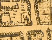
The church gained a royal reputation, when it received patronage from King Richard II in the fourteenth century and was referred to as the King’s Chapel. According to tradition, in 1497 it also hosted the coronation of the pretender to the English throne, Perkin Warbeck. Christ’s Church was the main place of worship in the city: the mayor attended festivals here, alongside judges and other notable people. A sixteenth-century mayor called Thomas Ronan (d. 1554) was interred inside, his resting place was marked with the inscription ‘The Modest Man’. The church probably hosted the wedding of the poet, Edmund Spenser, famous for The Faerie Queene, to his wife Elizabeth Boyle in 1594. This poem includes interesting references to the landscape of County Cork.
The second church listed on the map is St Peter’s Church, located on the present-day North Main Street. Said to be the oldest standing church in Cork, dating to the year 1270, St Peter’s Church was financed and constructed by King Henry III. After the Anglo-Norman invasion, English influence created a rift between the Gaelic Irish and the settlers of the now-walled port. The English crown was attempting to consolidate its control in Ireland, collecting £1150 yearly from the island (estimated to be roughly £900,000 today). Royal jurisdiction allowed Henry to tighten his grip on Cork and use it as a source of revenue and land for his English vassals. The political motivation behind the construction of St Peter’s is evident in its design, with the building serving as a tower to watch over the city. The king’s arms were carved into the stone on the western wall of the building and were still visible in the mid-eighteenth century as described by The Ancient and Present State of the County and City of Cork. In early modern times, Cork remained a source of income for the English crown and the royal presence within the city was an enduring element of its administration.
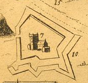
A number of churches were located just outside of the medieval city walls. The church within the ‘new fort’ is marked as ‘Holly Rode’ (number 7) also known as the church of St Mary de Nard in some earlier sources. The earliest mentions of this church are found in twelfth-century letters. The origin of the church’s dedication is unknown: modern scholars suggest that the church was dedicated to the Holy Cross or that its name referred to the holy ointment used by Mary Magdalene to anoint Christ. The church had withered away by the seventeenth century, around the time of the construction of Elizabeth Fort.
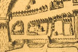
Mendicant or begging orders that arrived in Ireland in the thirteenth century had their friaries established near the city’s walls. The Franciscan friary was established outside the north side (number 3), while the Dominican and Augustinian friars were located south of the city walls (numbers 4 and 9). Their location close to the city walls and city gates allowed the friars easy access to preach to both the urban and rural population as well as beg for alms.
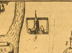
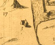
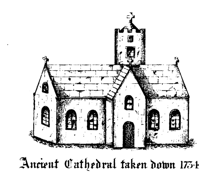
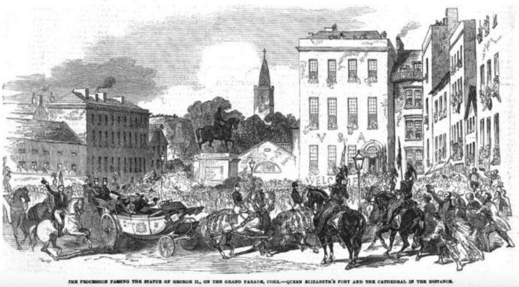
‘S. Barrie’s Church’, or St Fin Barre’s Cathedral, was also located on the south side of the city (number 5 on the Civitates map). It stood on the site of the previously mentioned monastic settlement of St Finbarr, founded in the seventh century. The simple original building continued to be used throughout the early medieval period but became destitute around the time of the Anglo-Norman arrival. It was converted to Anglican use during the time of the Reformation in the 1530s, under the Tudors. On the Civitates map ‘S. Barrie’s Church’ is next to a ‘spyre’ (number 6), that housed the bells. This ‘spyre’ was the only surviving part of the structure during the Siege of Cork in the late seventeenth century. The cathedral spire can still be seen in an illustration of Queen Victoria’s visit to Cork in 1849. What remained of the medieval cathedral however was demolished in 1858 to make way for the construction of the new cathedral by William Burges.
David O’Mahony
Further reading
Kelleher, Hilary, McCarthy, Fintan and Brett, Ciara, ed., Cork City’s Burial Places: A Study of the Cemeteries, Graveyards and Burial Places within Cork City (Cork, 2011).
Leask, Harold G., Irish Churches and Monastic Buildings (Dundalk, 1977).
O’Callaghan, A., The Churches of Cork City: An Illustrated History (Cork, 2016).
Smith, Charles, The Ancient and Present State of the County and City of Cork in Four Books (Dublin, 1750).
